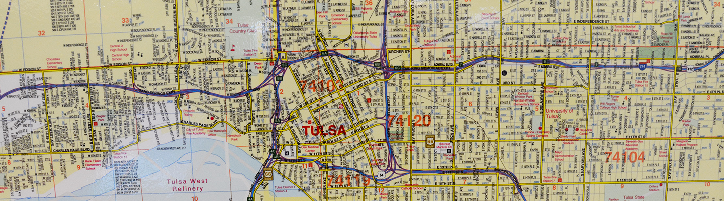
Map Resources
This is an index of map resources available at the Central Library Research Center.
North America
-
Arctic Region 2007 PennWell “International Petroleum Encyclopedia”
-
Basement Map of North America 1967 1:5,000,000 USGS/AAPG
-
Canadian Iron Ore and the North American Iron and Steel Industry 1958 1:10,000,000 Map M.R. 1 Canada Department of Mines and Technical Surveys, Mineral Resources Division
-
Crude Oil Fields and Pipeline Map of North America 1976 1:5,000,000
Sheet 1 of 2; Petroleum Publishing Co. -
Crude Oil Pipe Line Map of the United States and Southern Canada Western Section 1983 API
-
Crude Oil Pipe Line Map of the United States and Southern Canada Central Section 1983 API
-
Crude Oil Pipe Line Map of the United States and Southern Canada Eastern Section 1983 API
-
Crude Oil Pipelines of the United States and Canada 1989 PennWell
-
Geologic Map of North America 1946 1:5,000,000 Sheet 1 of 2 GSA
-
Geologic Map of North America 1946 1:5,000,000 Sheet 2 of 2 GSA
-
Geologic Map of North America 1965 North Half USGS
-
Geothermal Gradient Map of North America 1976 1:5,000,000 Sheet 1of 2; USGS/AAPG
-
Geothermal Gradient Map of North America 1976 1:5,000,000 Sheet 2 of 2; USGS/AAPG
-
Glacial Map of North America Eastern Half 1945
-
Glacial Map of North America Western Half 1945
-
Great Lakes: An Environmental Atlas and Resource Book 2002 by Lee Botts and Bruce Krushelnicki; Government of Canada and United States Environmental Protection Agency
-
National Atlas of the United States of America 2001 1:10,000,000 USGS
-
Natural Gas Pipelines of the United States and Canada 1985 PennWell
-
North American Environmental Atlas: Land Cover 2005; 1:10,000,000; Commission for Environmental Cooperation
-
Oil and Gas Map of North America 1976 1:5,000,000 Sheet 1 of 2 Petroleum Publishing Co.
-
Pleistocene Eolian Deposits of the United States, Alaska and Parts of Canada 1952
Sheet 1 of 2, Levorsen Collection; GSA -
Pleistocene Eolian Deposits of the United States, Alaska and Parts of Canada 1952
Sheet 2 of 2, Levorsen Collection; GSA -
Preliminary Metallogenic Map of North America 1981 1:5,000,000
Sheet 1 of 4, Accompanies USGS Circulars 858 A & B; USGS -
Preliminary Metallogenic Map of North America 1981 1:5,000,000
Sheet 2 of 4, Accompanies USGS Circulars 858 A & B; USGS -
Preliminary Metallogenic Map of North America 1981 1:5,000,000
Sheet 3 of 4, Accompanies USGS Circulars 858 A & B; USGS -
Preliminary Metallogenic Map of North America 1981 1:5,000,000
Sheet 4 of 4, Accompanies USGS Circulars 858 A & B; USGS -
Products Pipe Line Map of the United States and Southern Canada Central Section 1983 API
-
Products Pipe Line Map of the United States and Southern Canada Eastern Section 1983 API
-
Products Pipe Line Map of the United States and Southern Canada Western Section 1983 API
-
Products Pipelines of the United States and Canada 1983 PennWell
-
Simplified Map of North American Natural Gas Pipelines: Market Points, Producing Basins, Shale Plays, LNG Facilities 2009 Intelligence Press, Inc.
-
Tectonic Map of North America Southeast Sheet 1992 AAPG
-
Tectonic Map of North America Southwest Sheet 1992 AAPG
-
Tectonic/Geological Map of Greenland 1970 1:2,500,000 by A. Escher; Geological Survey of Greenland
-
U.S. & Canada Biodiesel Plant Map; Fall 2008; Biodiesel Magazine
-
U.S. & Canada Biodiesel Plant Map; Fall 2007; Biodiesel Magazine
-
U.S. & Canada Biodiesel Plant Map; Spring 2007; Biodiesel Magazine
-
U.S. & Canada Fuel Ethanol Plant Map; Fall 2011; Ethanol Producer Magazine
-
U.S. & Canada Fuel Ethanol Plant Map; Spring 2008; Ethanol Producer Magazine